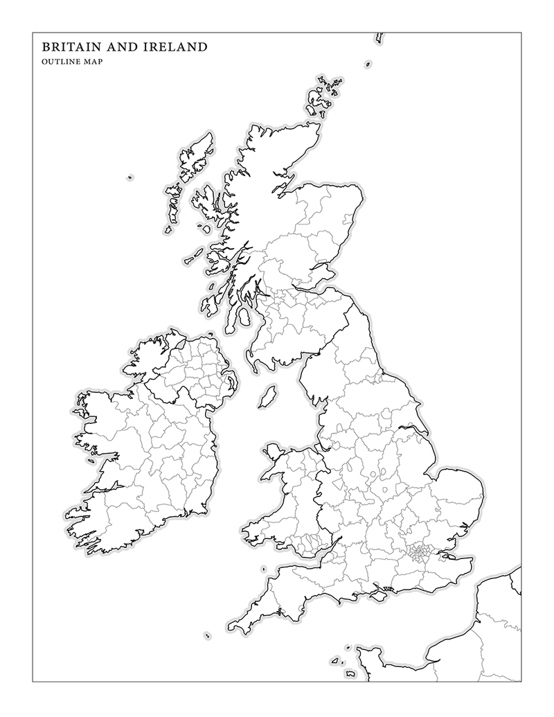
Outline map of Britain and Ireland
So I got this idea of making an outline map of Britain and Ireland and then compiling a list of fifty populous/famous towns and cities, to see how well I can locate them on the map. Being an Anglophile, I thought I’d do pretty well. Ha. It was sad. (But I did get London.)
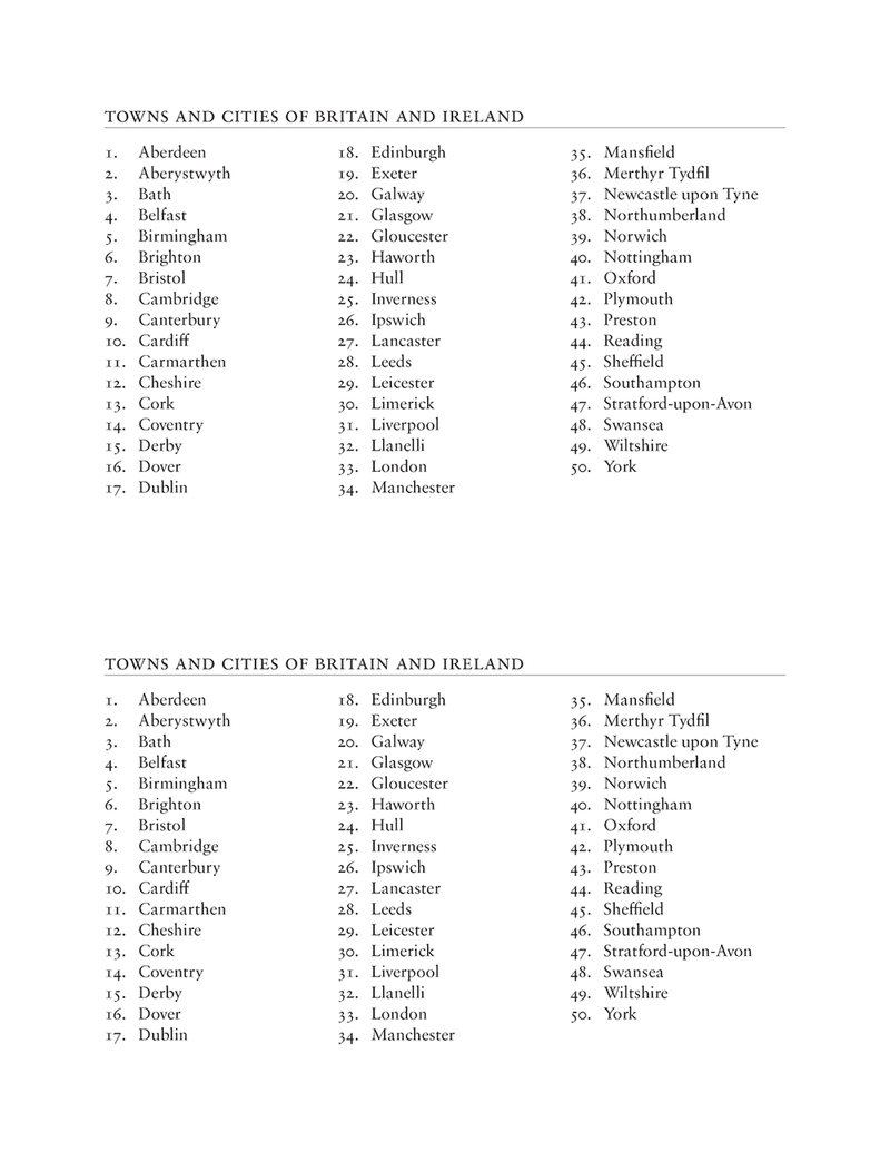
Anyway, should you care to test your knowledge, you can now download PDFs of both the map and my semi-arbitrary list of towns and cities. Enjoy.
Notes on how I made these
For the map, I used TileMill to style and generate the map lines. I exported the map to SVG, converted it to Illustrator, and then imported it into InDesign and added the label.
For the list of towns and cities, I took a list of the most populous cities and added in some literary places as well. Basically, it’s a very-not-comprehensive list of places in Britain and Ireland that I’ve heard of.