Outline Maps
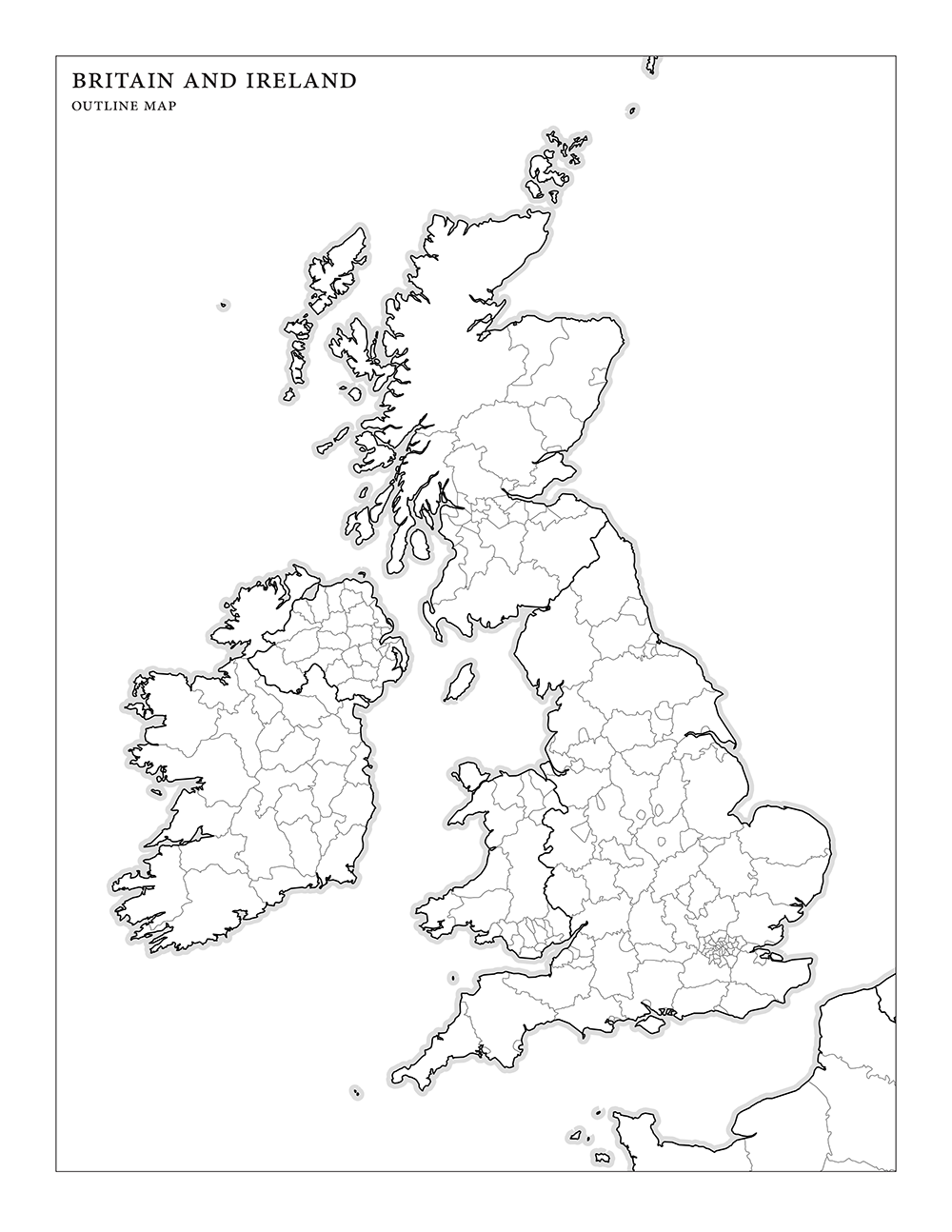
- Britain and Ireland: Outline Map PDF Version 1.0
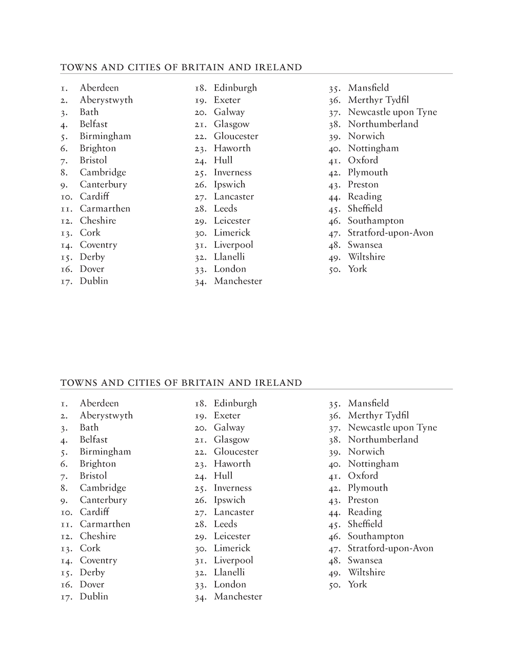
- Britain and Ireland: Towns and Cities PDF Version 1.0
About the maps
It’s a mild-mannered geography game with a blank outline map of Britain and Ireland and a list of towns and cities to locate on the map.
I’ve included country and county borders on the map to make things a wee bit easier.
The towns and cities PDF has two copies of the list per page.
What it looks like


Related blog posts
Changelog
- 1.0 (21 Dec 2013): Initial release