After linking to Felt not too long ago, I actually tried it out and goodness, it’s a delight. Easy to use, beautiful (I like the graphic design so much more than what Google Maps has), and the tools are great.
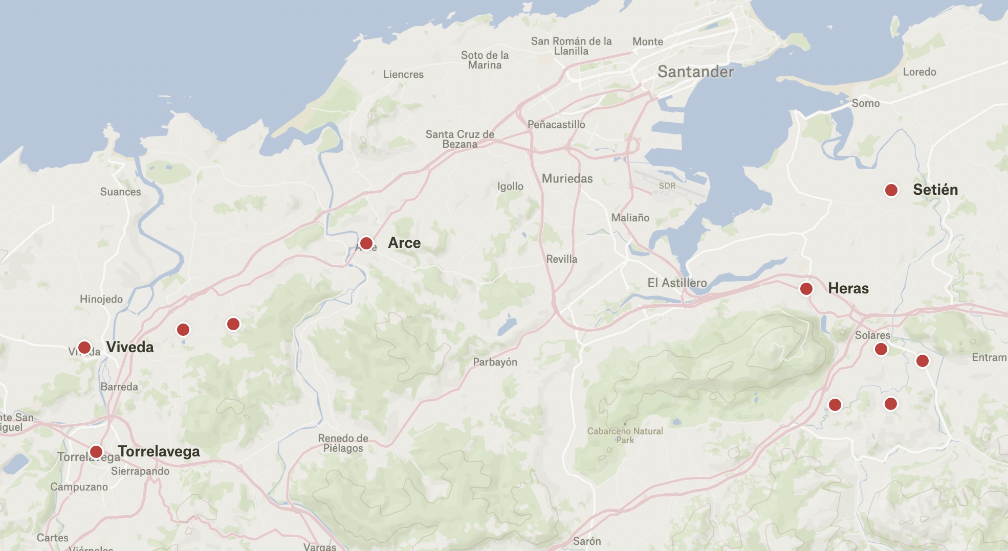
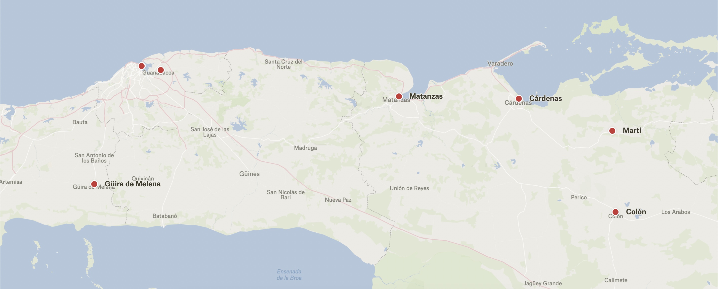
I made a family history map showing the towns where my Spanish and Cuban ancestors lived and shared it with my siblings:
Though I haven’t done these things in this particular map, being able to call out specific buildings and add text labels and custom polygons are all features that make Felt compelling to me. For example, I’m making another map showing where my dad’s family is from. I know my great-grandmother had a bakery on a certain street, but I don’t know exactly where it was on that street. Rather than choosing some arbitrary point along the street for a misleading pin, I’m able to mark the whole street with a custom polygon.
Tyler Hobbs on color arrangement in generative art. I haven’t done much generative art lately (and don’t know how much I’ll end up actually doing in the future), but I like Tyler’s work and this is a good writeup.
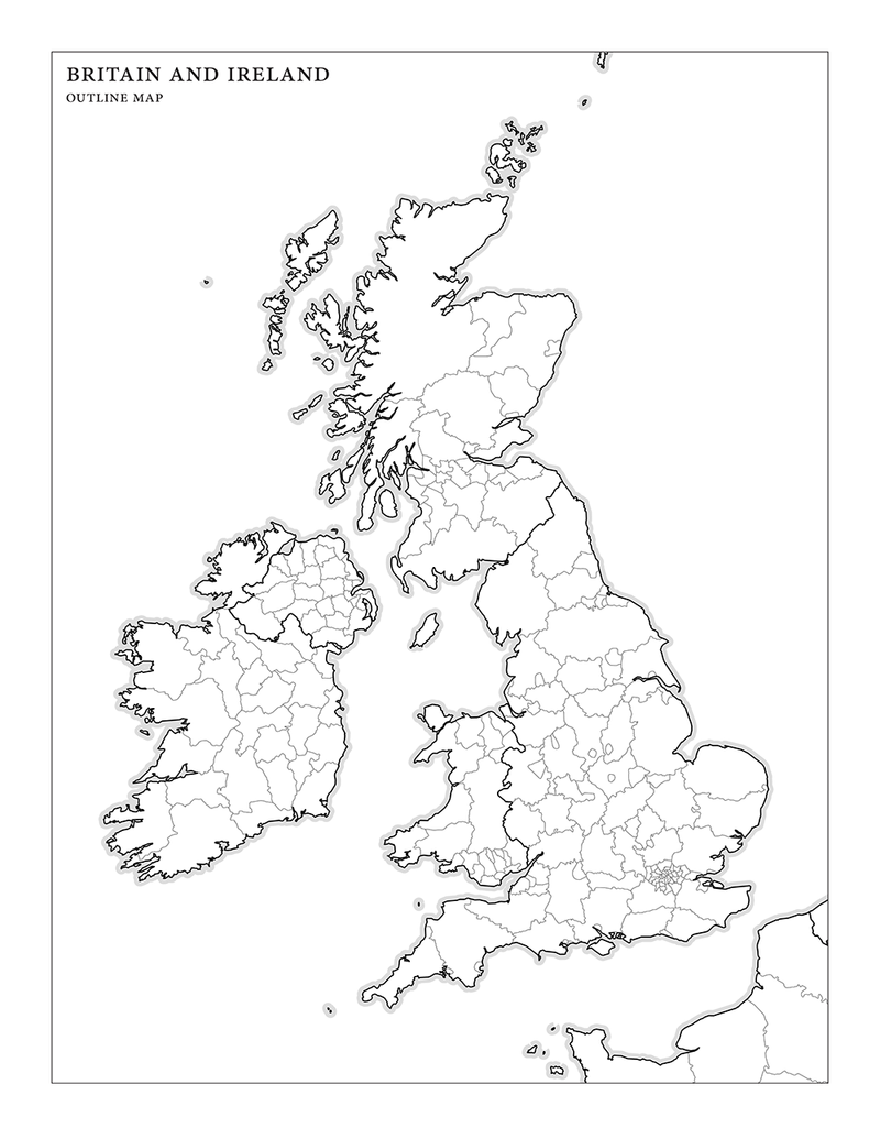
So I got this idea of making an outline map of Britain and Ireland and then compiling a list of fifty populous/famous towns and cities, to see how well I can locate them on the map. Being an Anglophile, I thought I’d do pretty well. Ha. It was sad. (But I did get London.)
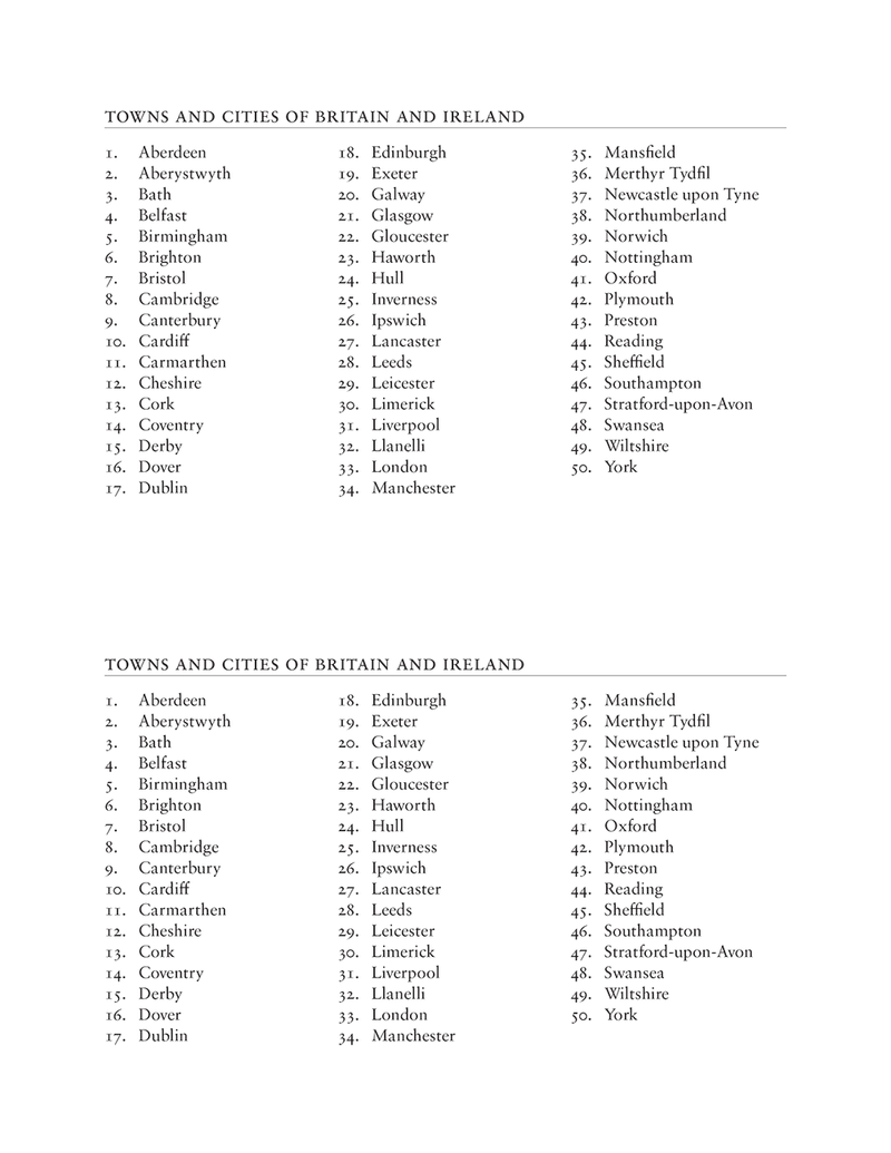
Anyway, should you care to test your knowledge, you can now download PDFs of both the map and my semi-arbitrary list of towns and cities. Enjoy.
Notes on how I made these
For the map, I used TileMill to style and generate the map lines. I exported the map to SVG, converted it to Illustrator, and then imported it into InDesign and added the label.
For the list of towns and cities, I took a list of the most populous cities and added in some literary places as well. Basically, it’s a very-not-comprehensive list of places in Britain and Ireland that I’ve heard of.
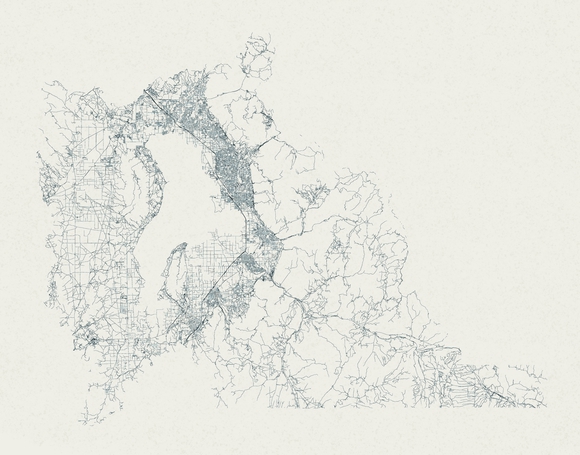
I took the Census Bureau’s shapefiles for Utah County, imported them into TileMill, styled the lines a little, and exported to SVG. Then I imported it into Illustrator, applied a thin pencil brush (it’s not very noticeable, honestly), exported to PNG, pulled it into Photoshop, and added some color and texture. Voila: the roads of Utah County.